Back
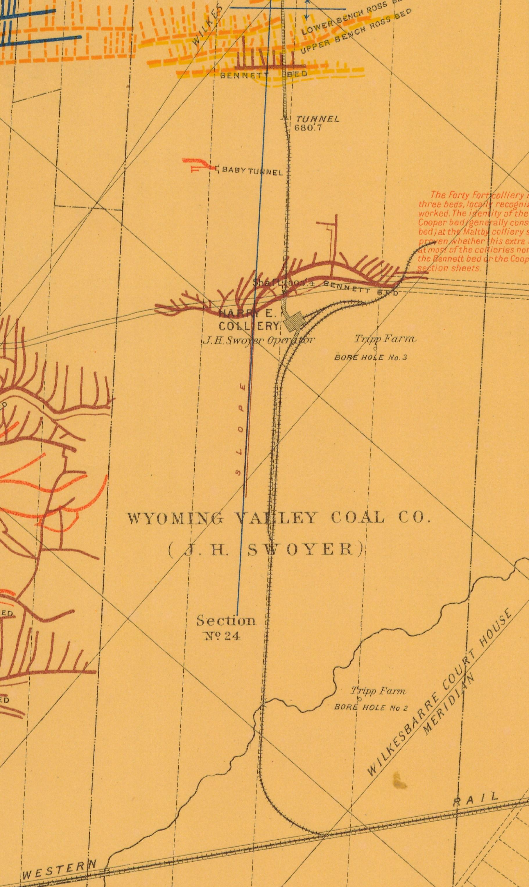
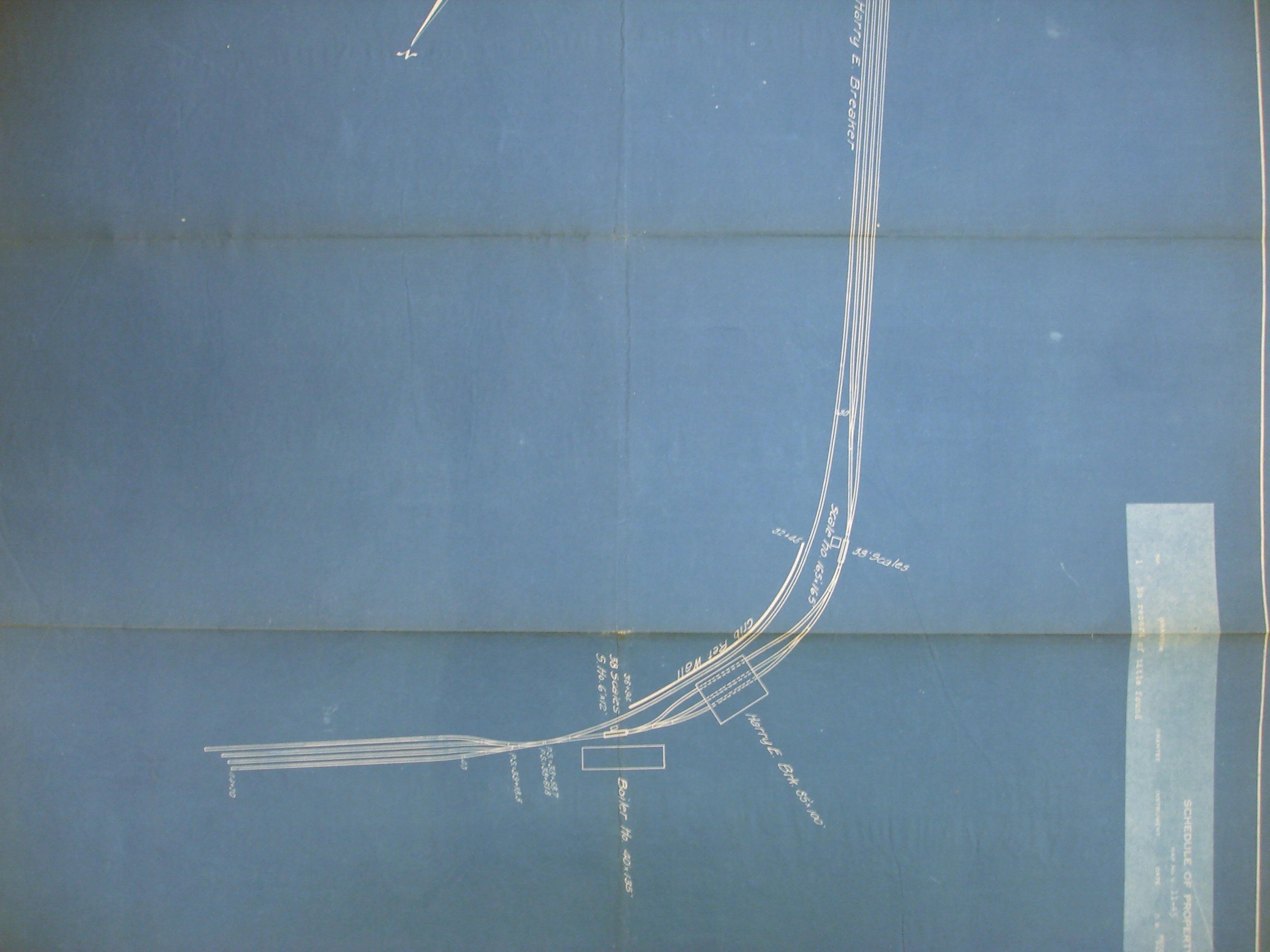
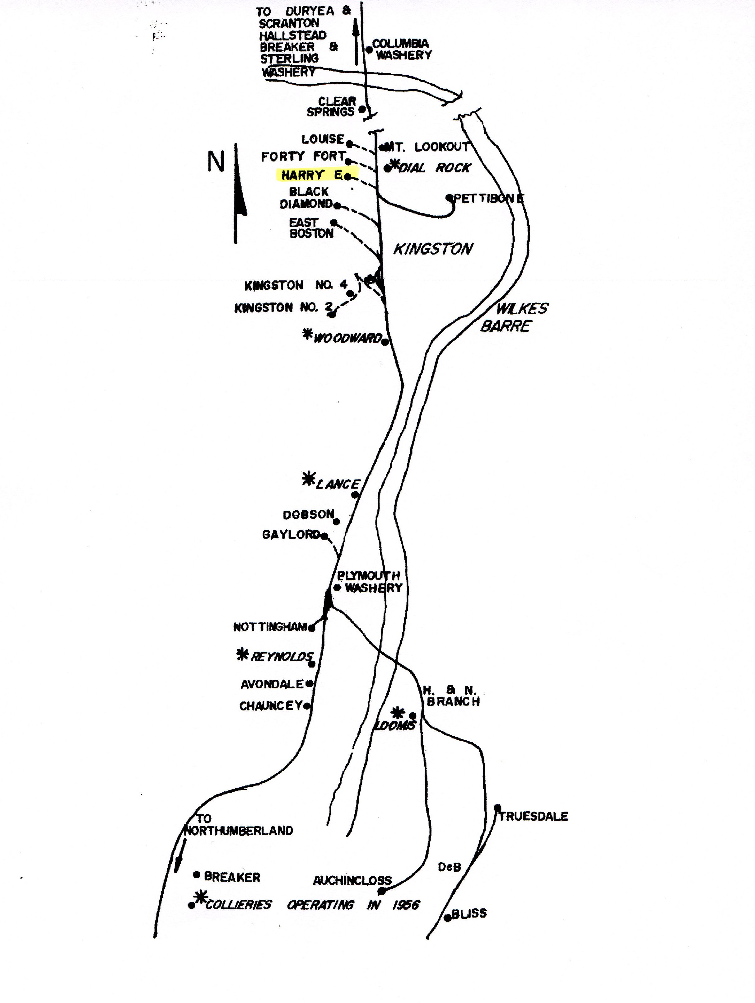
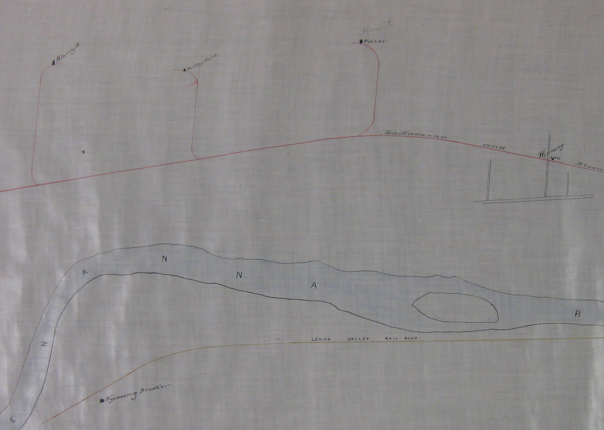
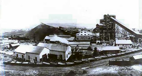
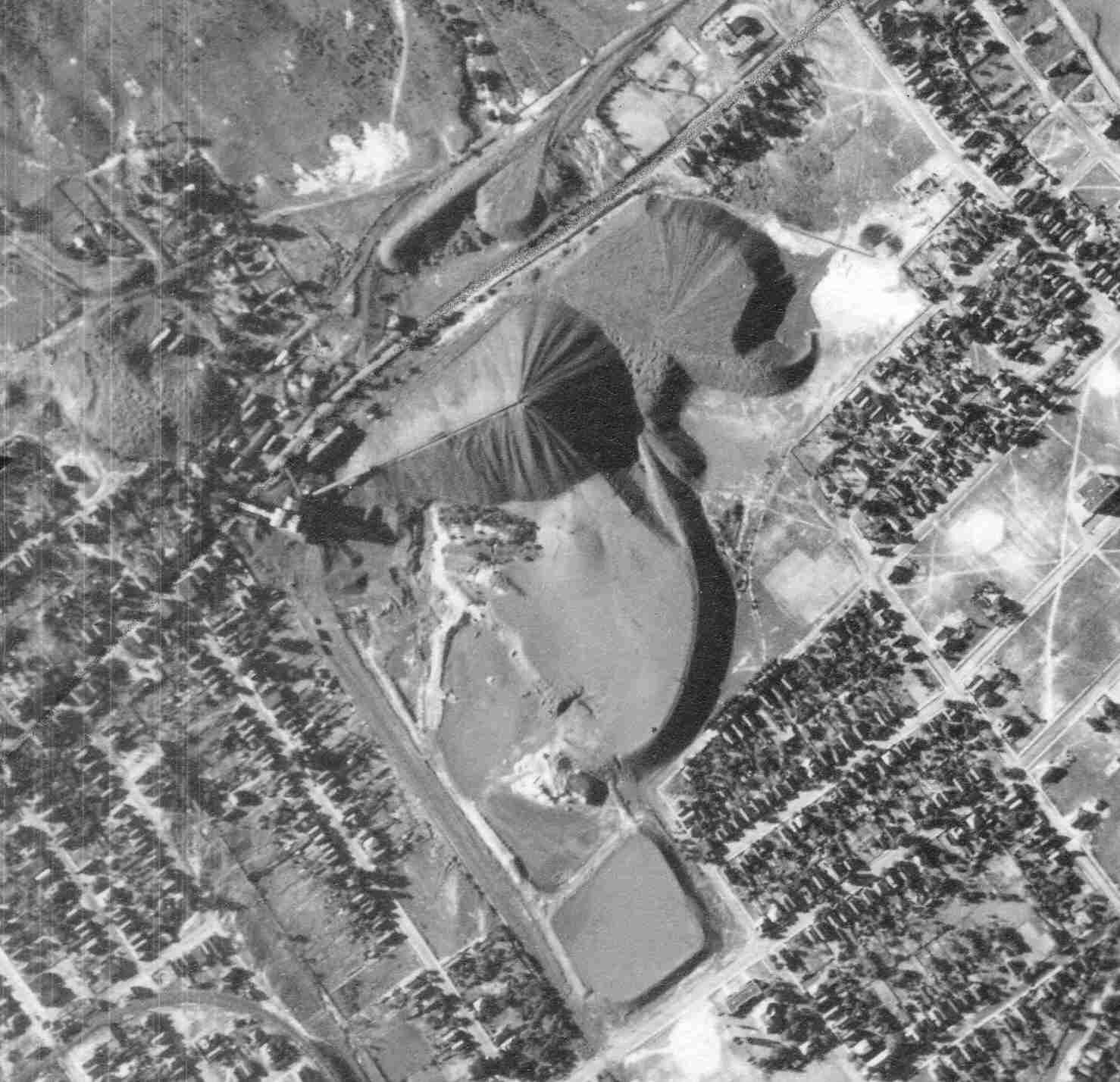
Harry E.
Area & Railroad Maps
1884 2nd Pa Geo Survey sheet VII
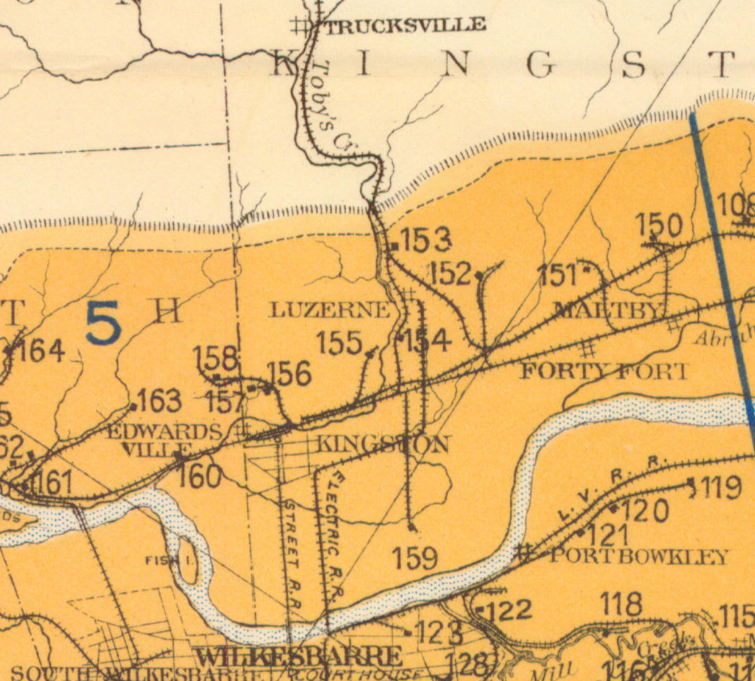
1890 Northern Field (152) PSU
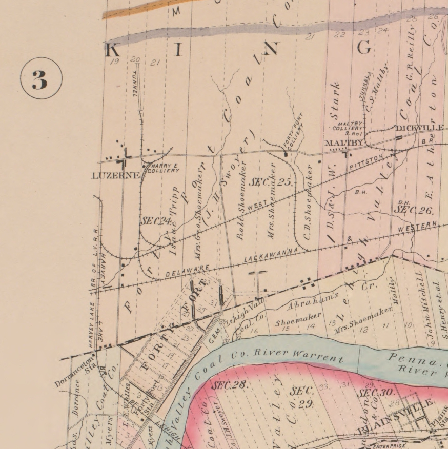
1894 Baist Atlas Wyoming and Lackawanna Valley Plate 5
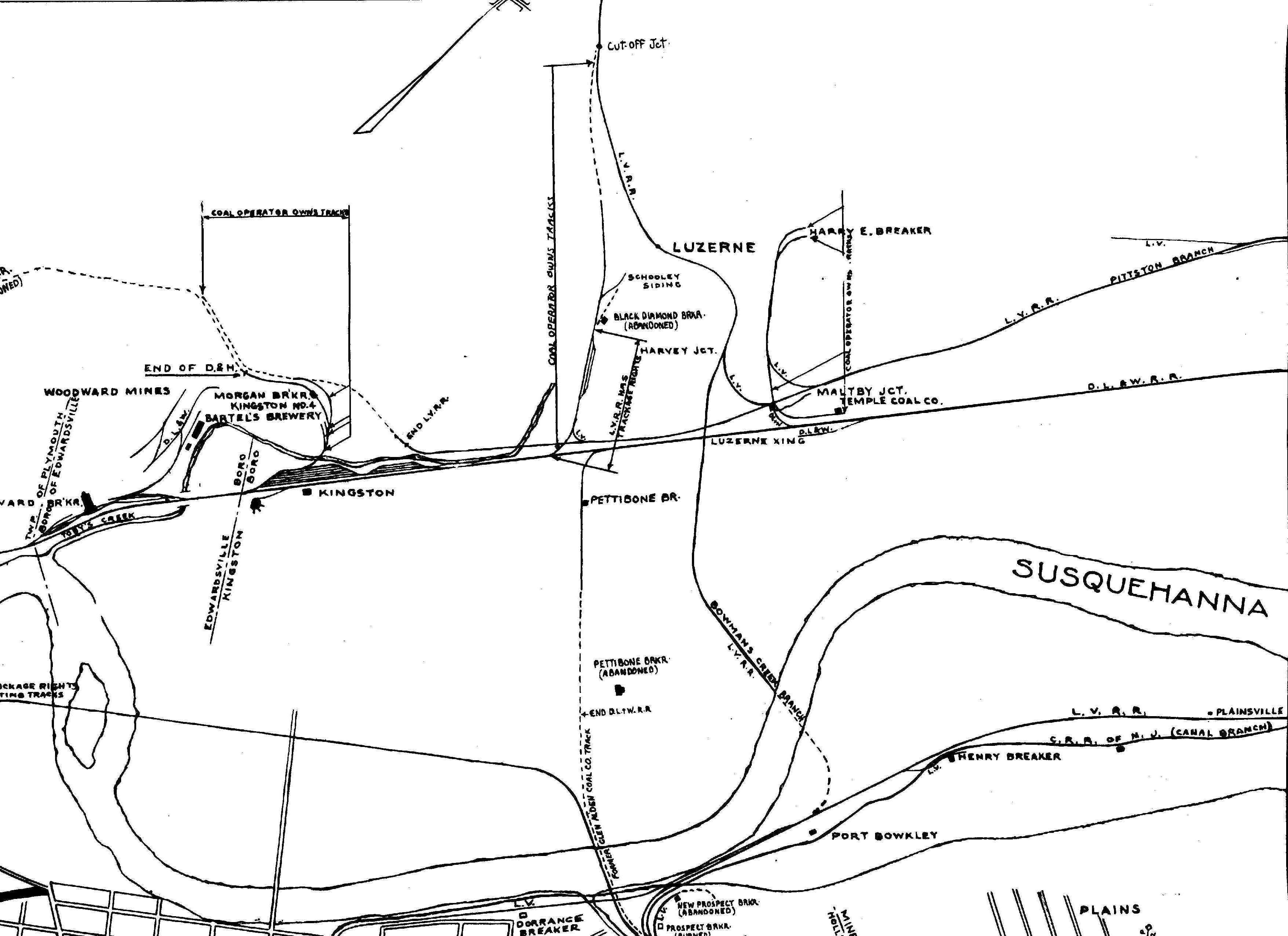
1918 DLW v21b m16
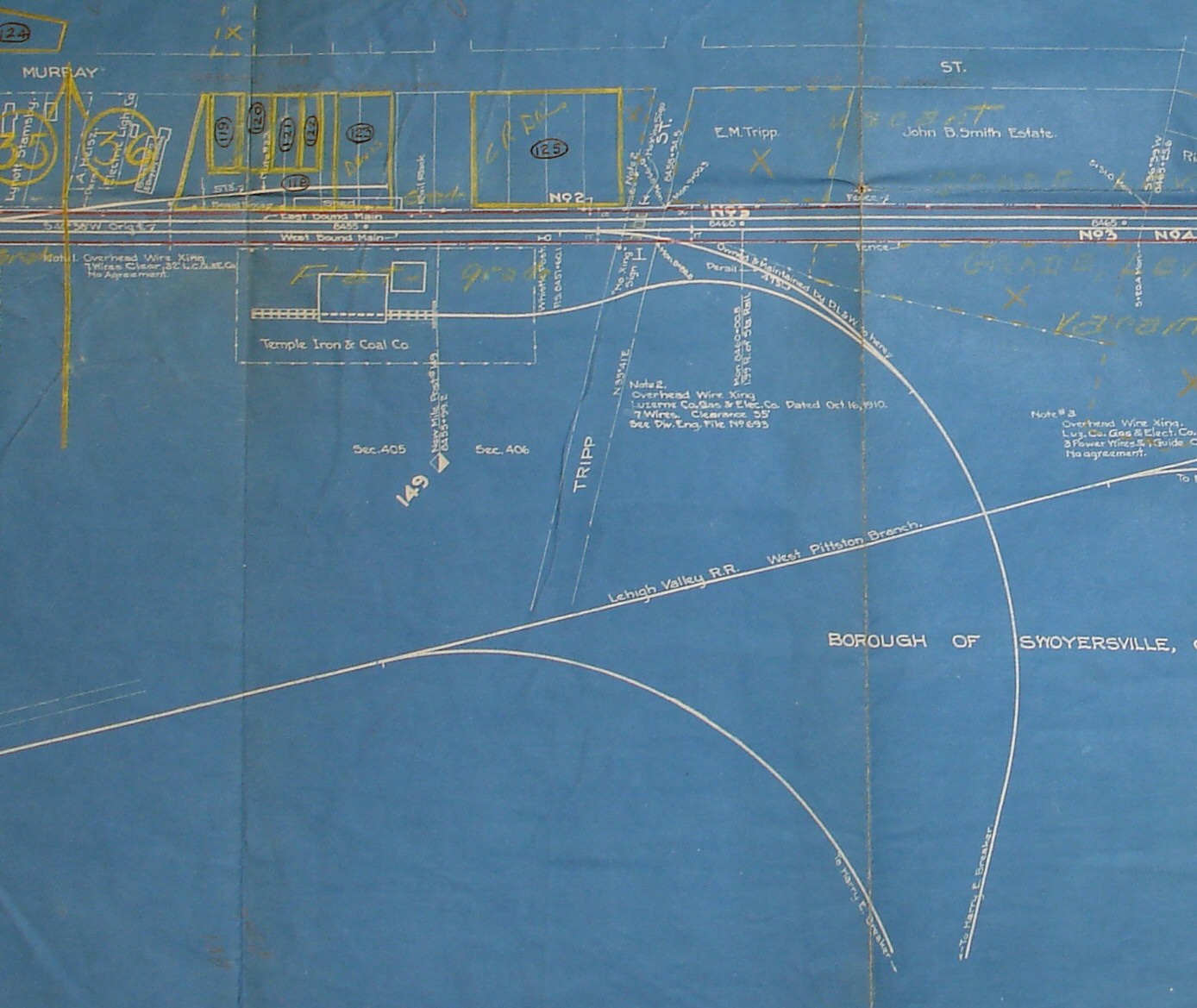
1918 LV v11 m45
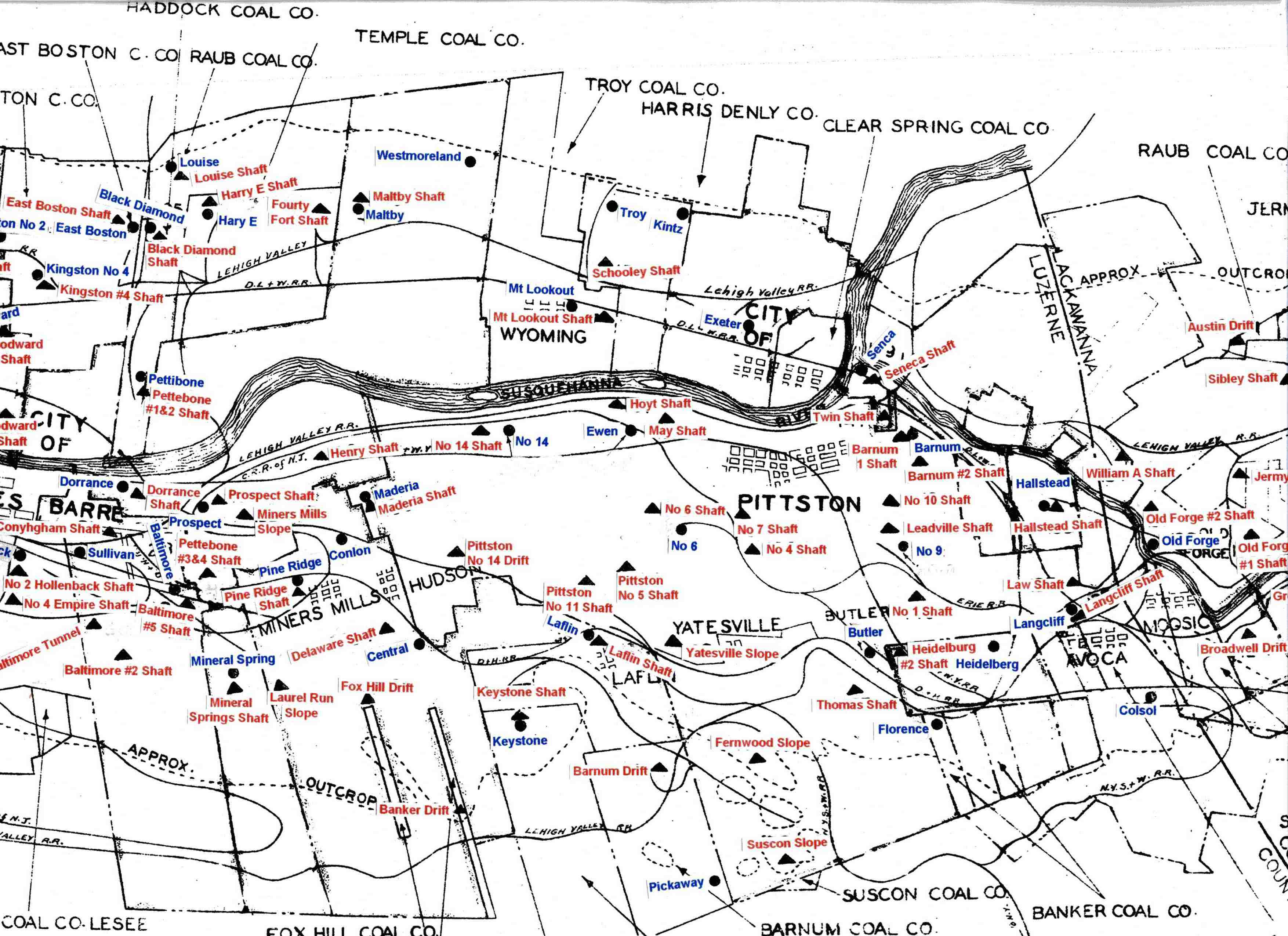
1930 Pittston Co Map
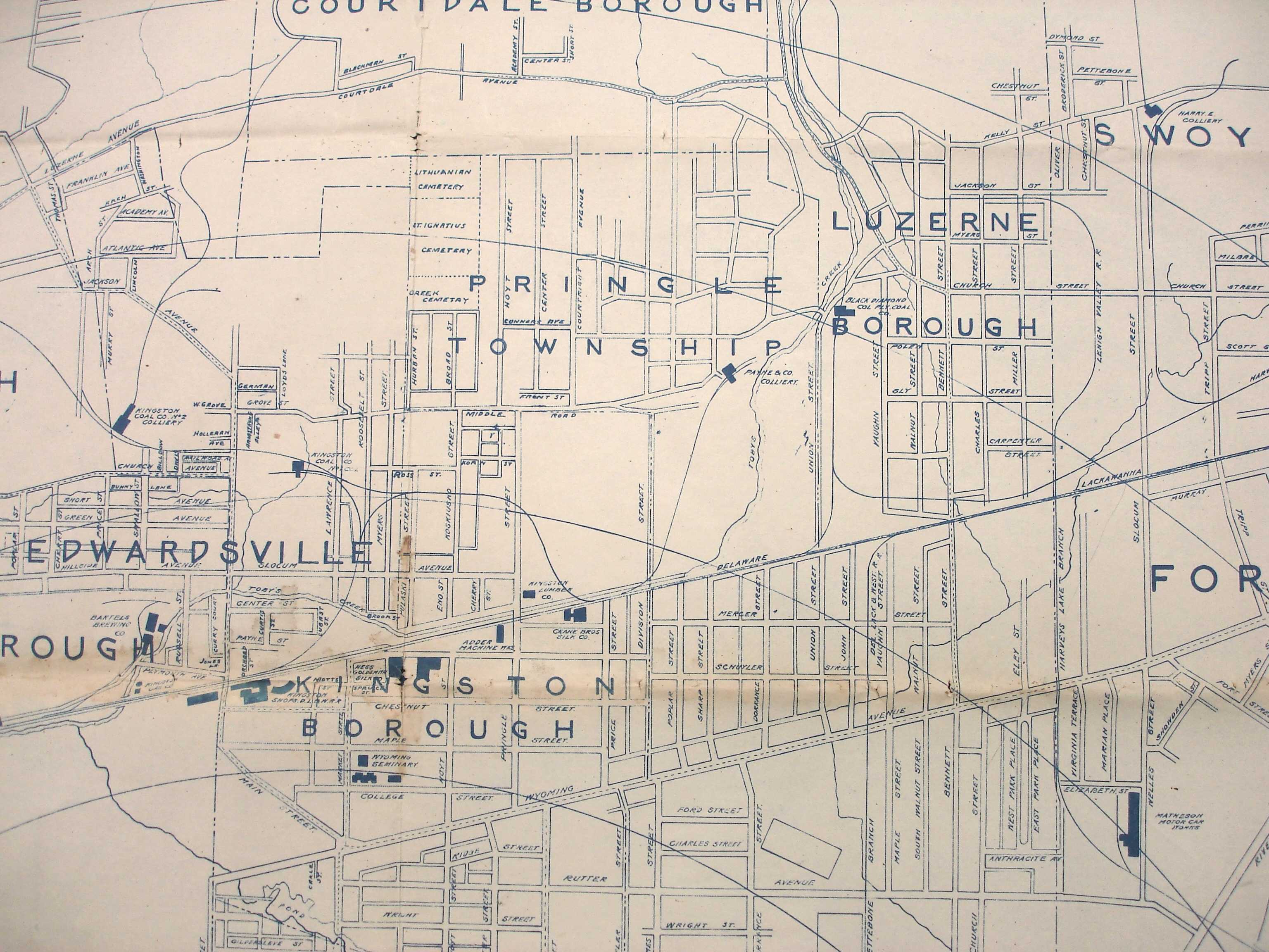
1939 Shepherd Map
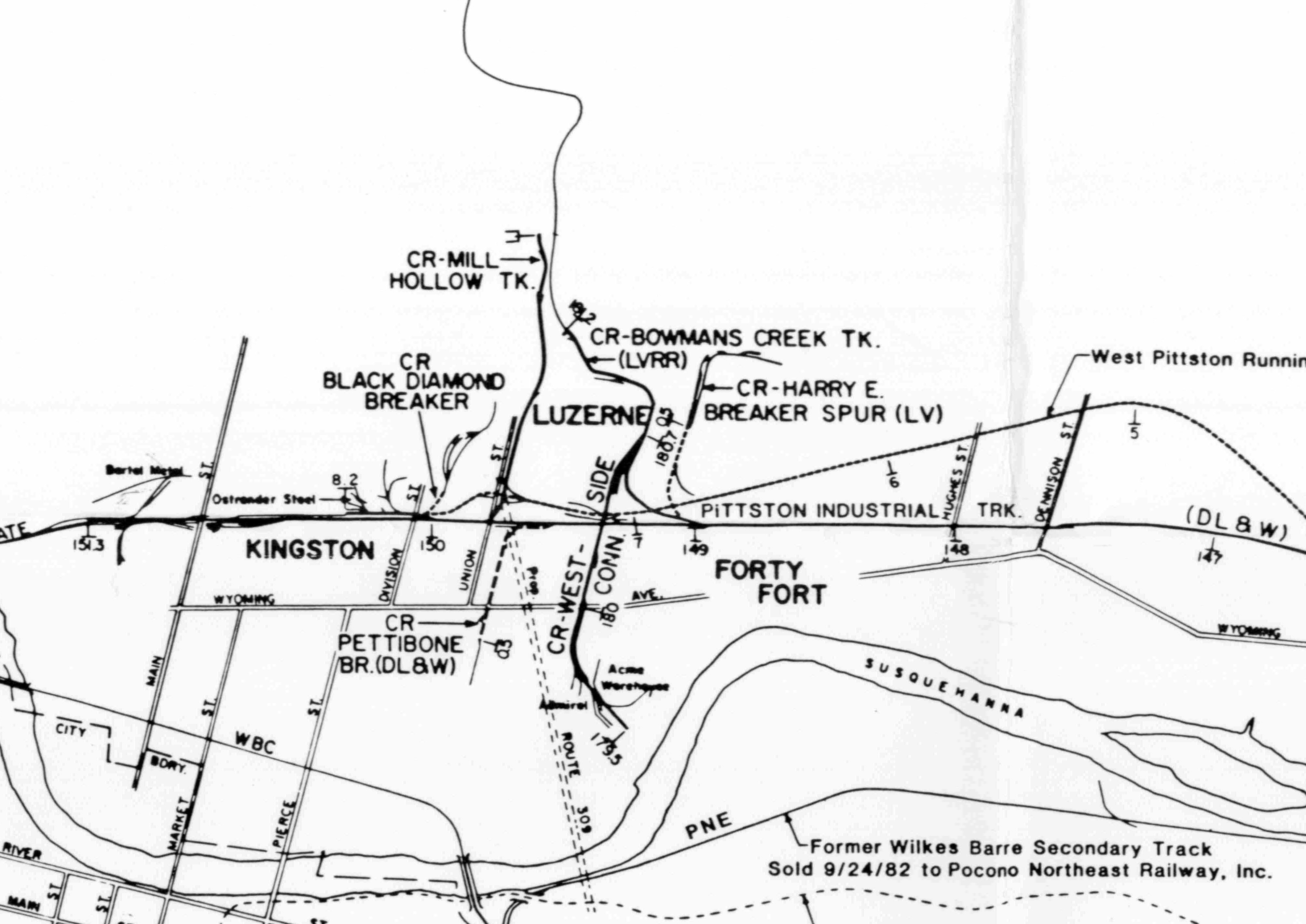
1983 Shepherd Map
DLW Coal Operations
c1892 DLW Map 52858 Steamtown
Period Photos
Healey Mining eBook
Photo
Penn Pilot and Aerial Photos
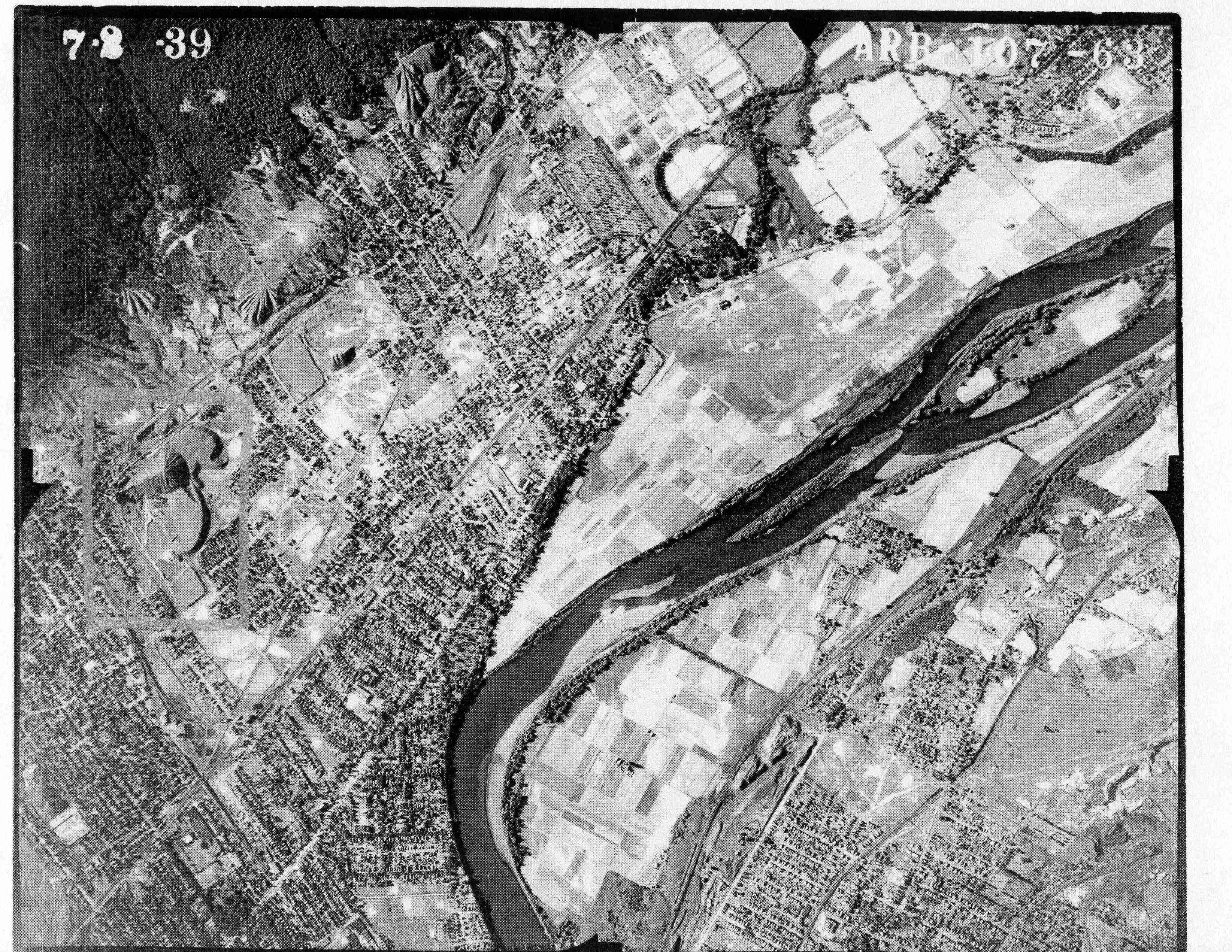
107_63 date 070239 close-up
107_63 date 070239
Mine Inspections
Inspector Narratives
City & Sanborn Maps
1913 Wilkes-Barre map
News, History & Articles
Modern Photos & Google Earth
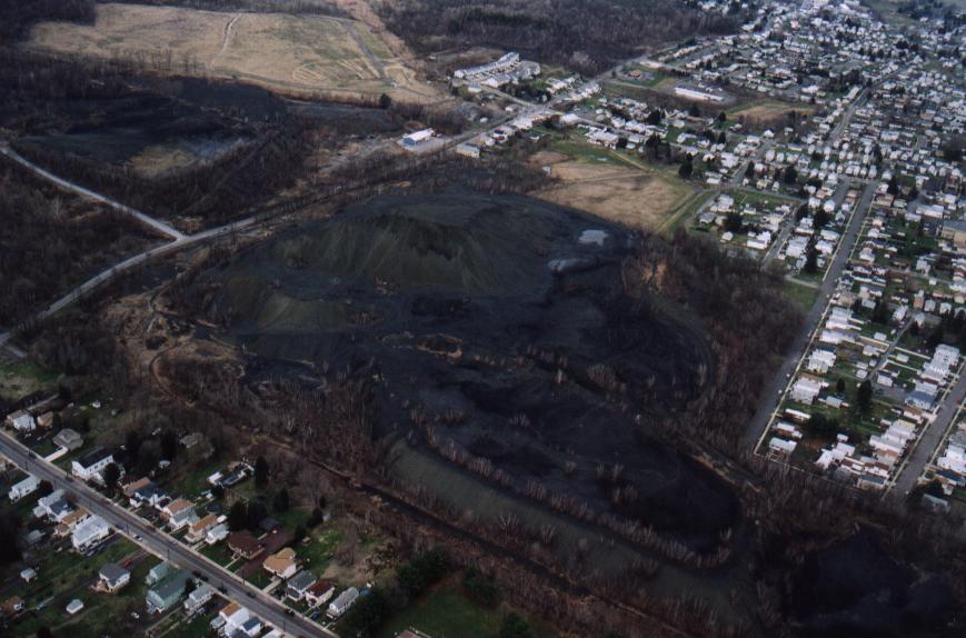
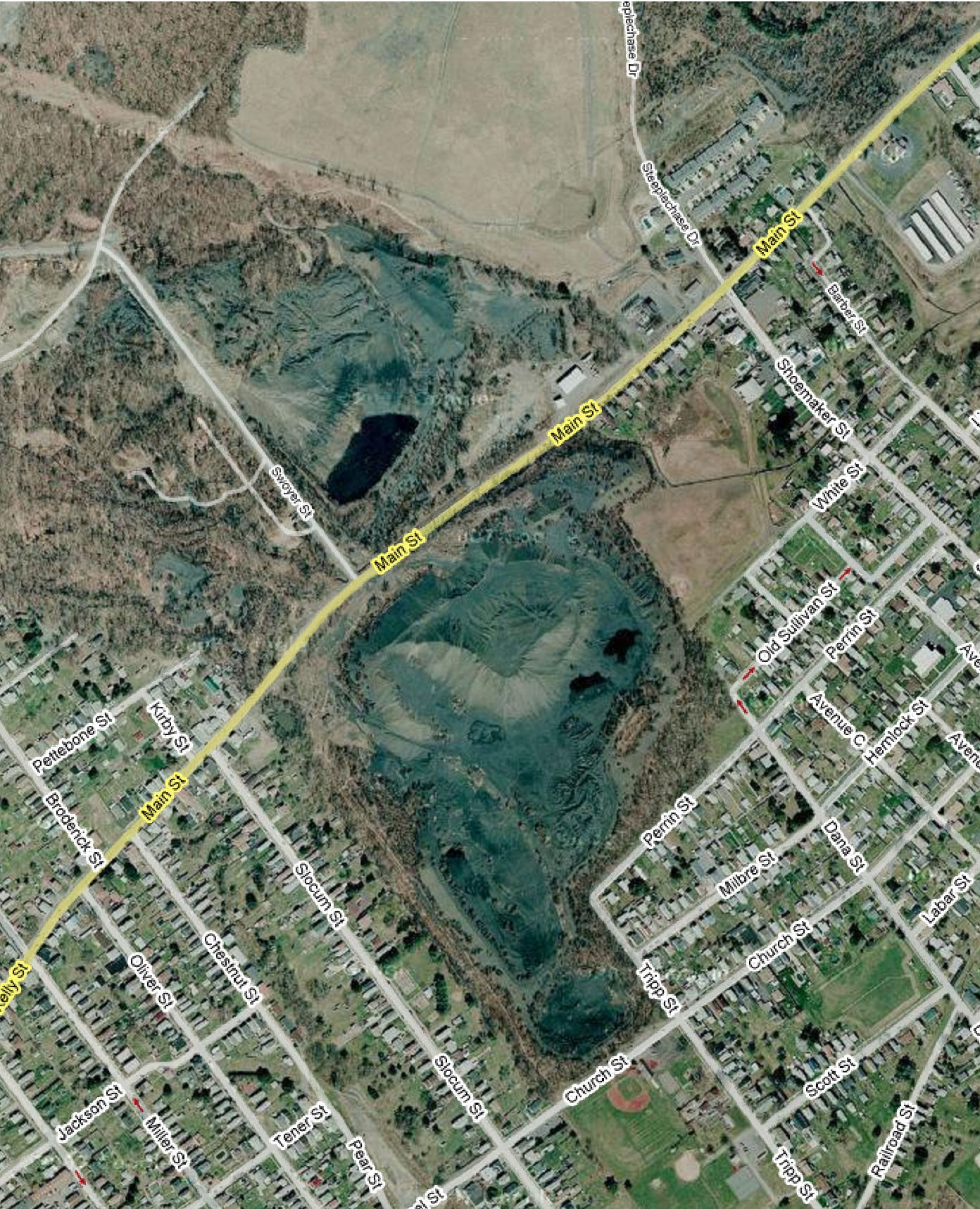
2007 aerial view
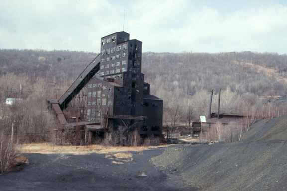
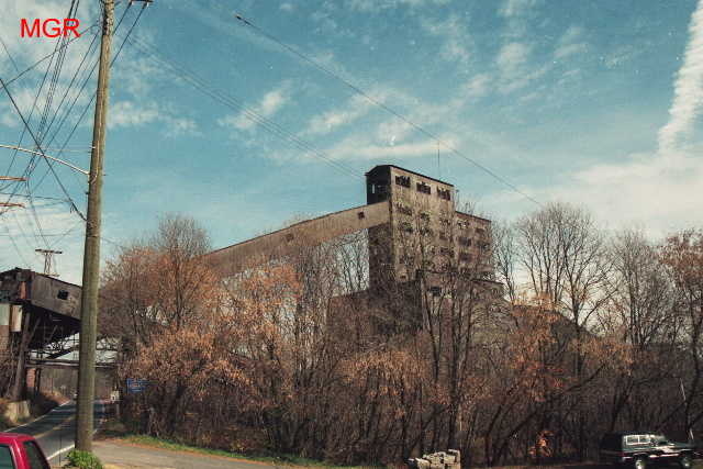
2007 photo 1
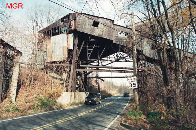
2007 photo 2
2007 photo 3
Google Earth
Other Materials
Comments and Feedback