Back
Additional information specific to Filer is not available.
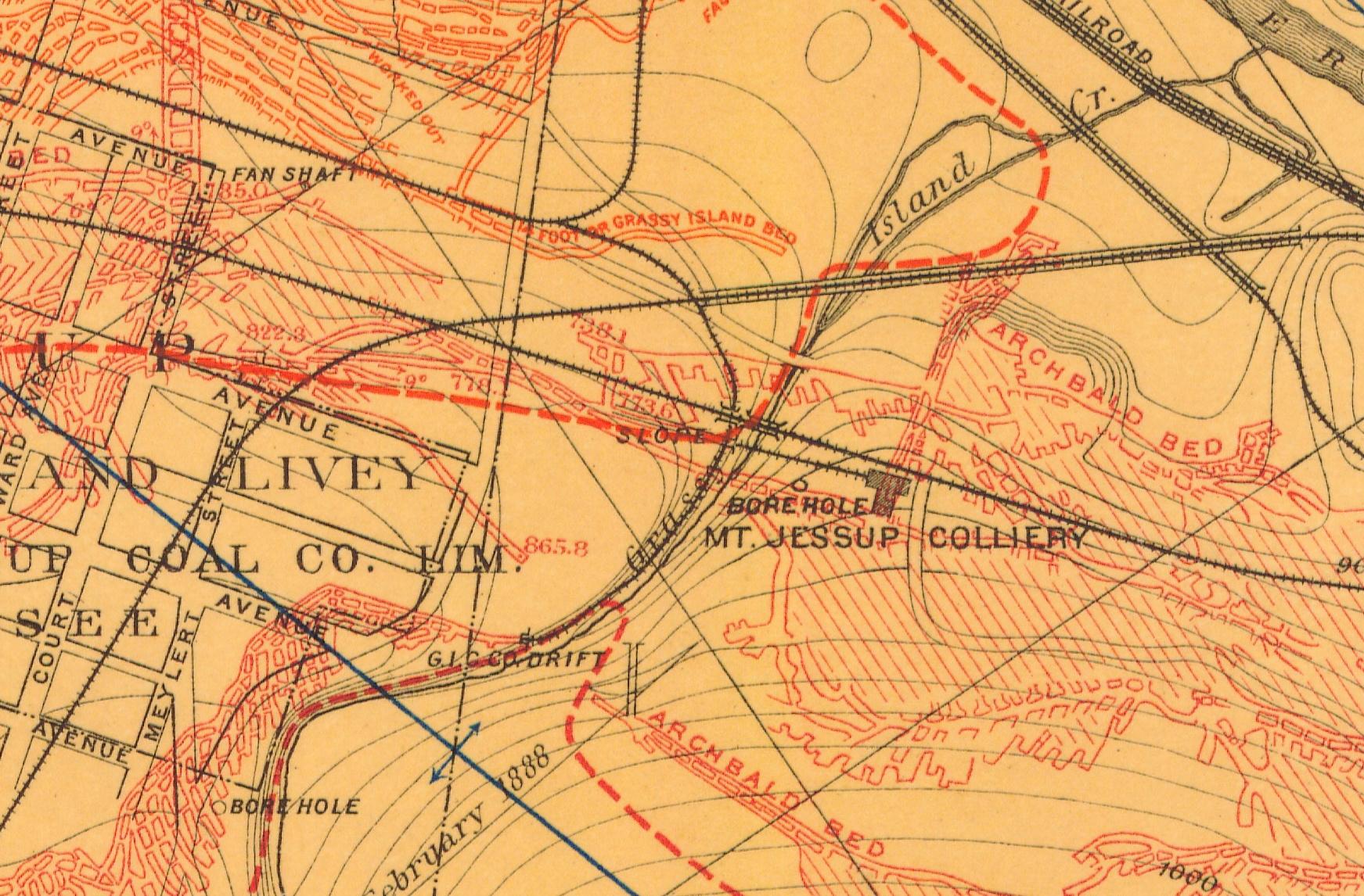
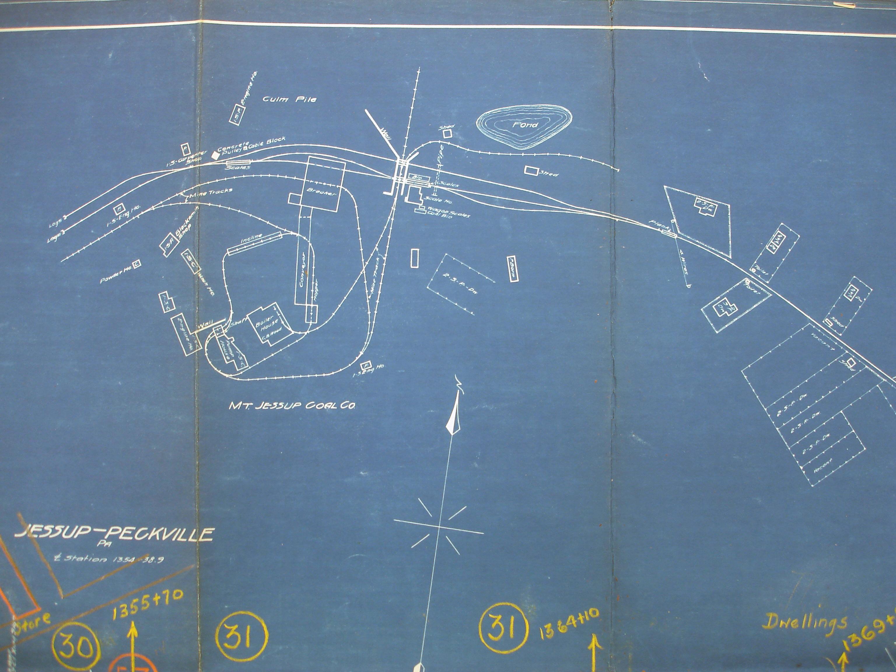
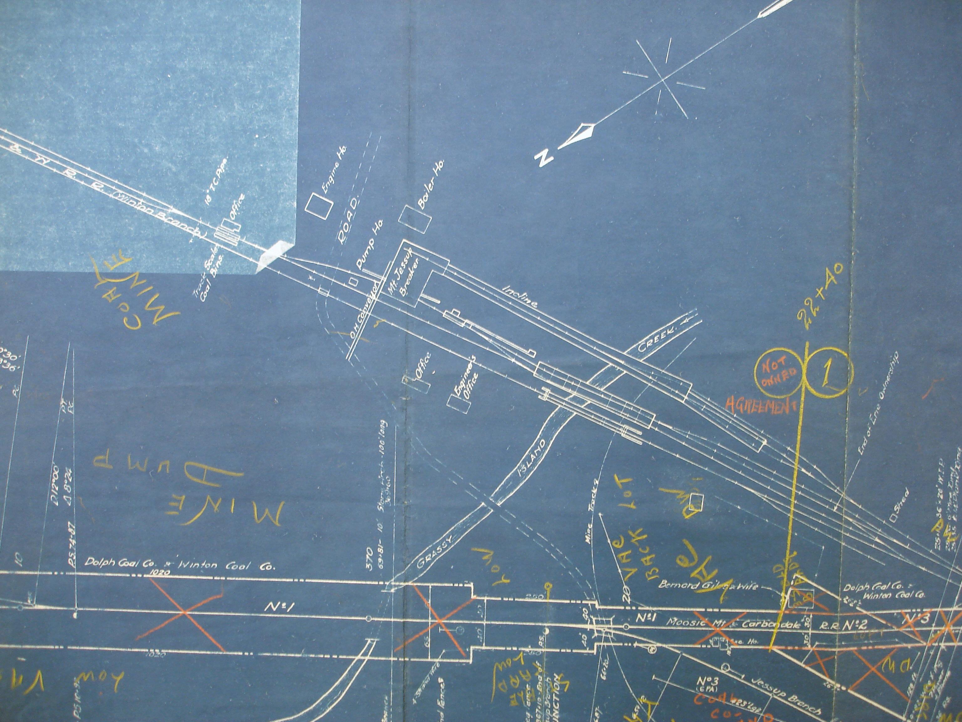
Displaying information for the correlated Mount Jessup operation instead.
Area & Railroad Maps
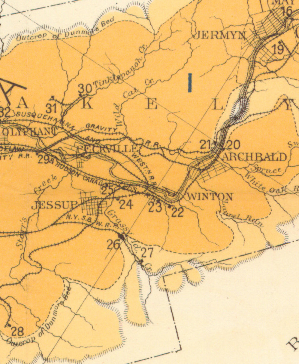
1878 Mine Inspector Map
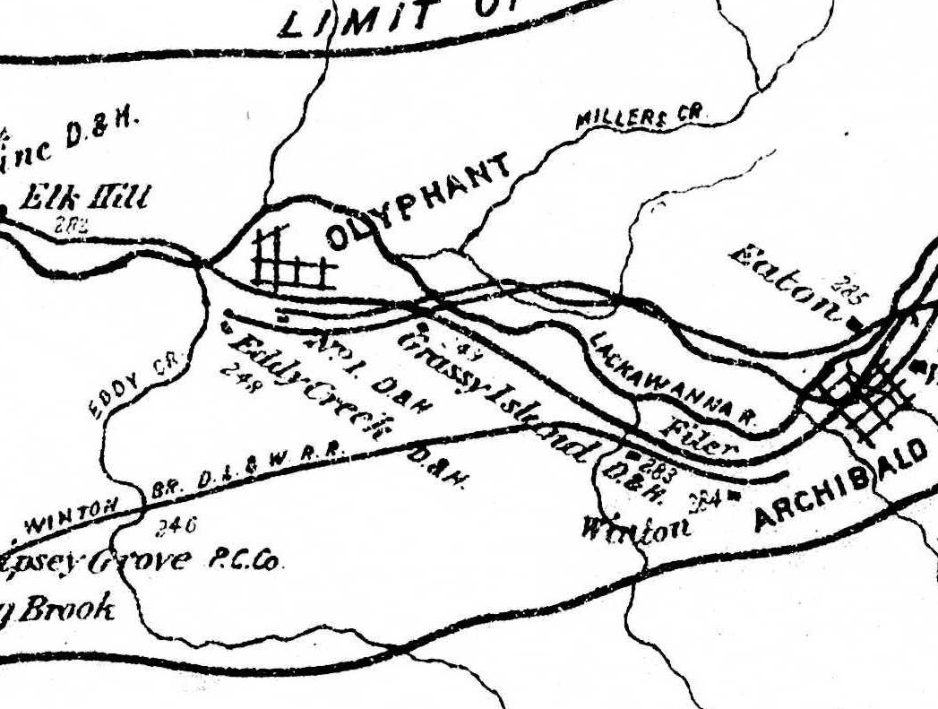
1879 Mine Inspector Map
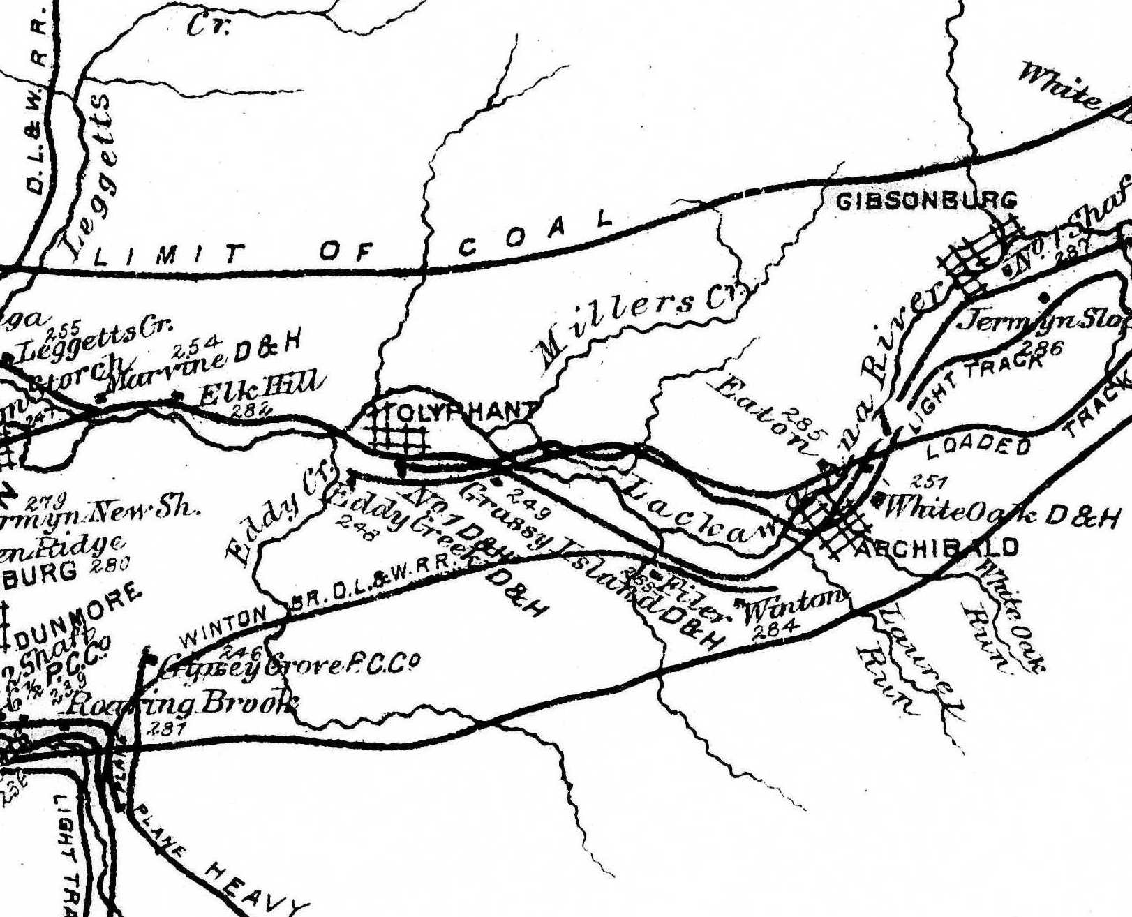
1880 Mine Inspector Map
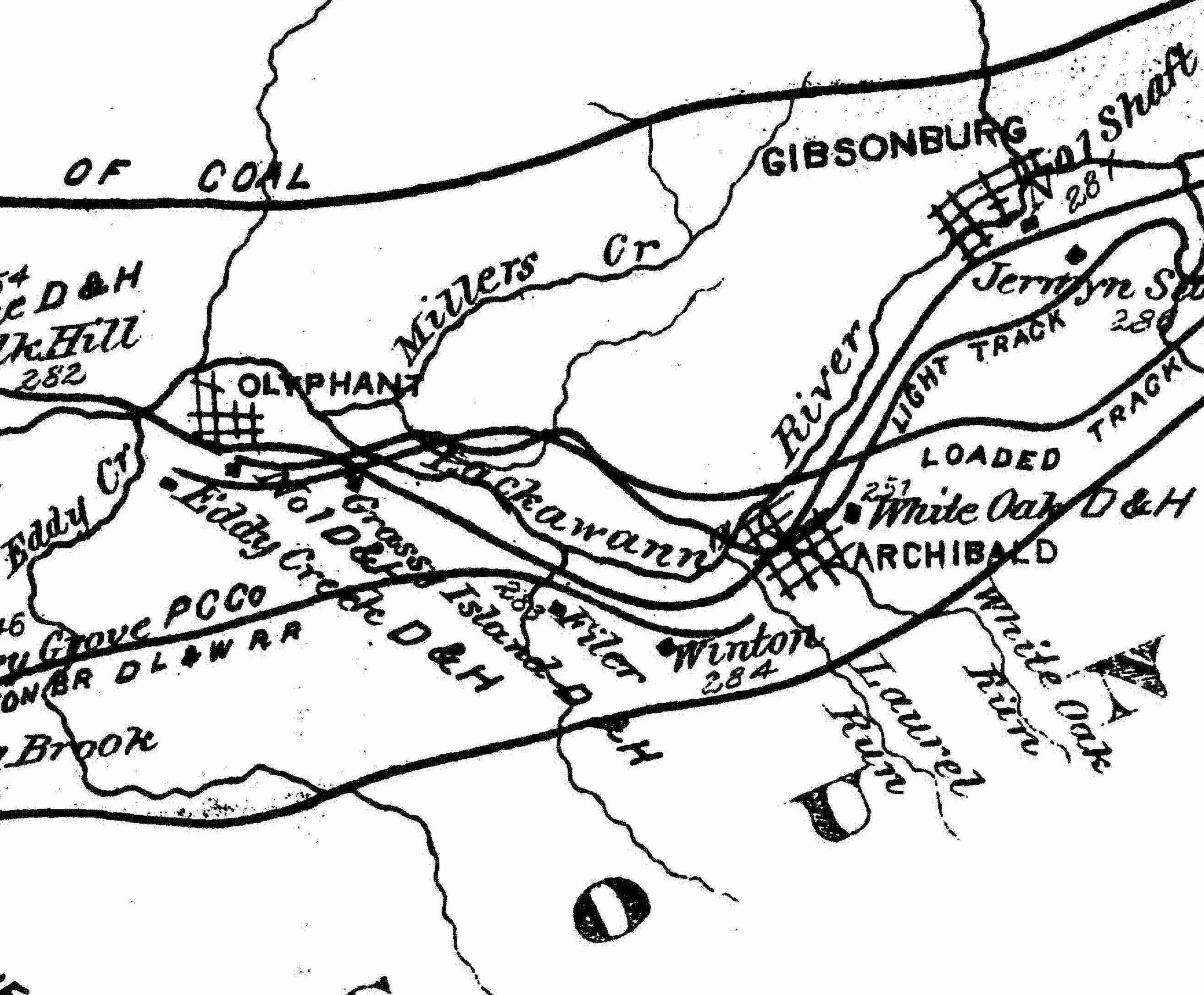
1888 2nd Pa Geo Survey sheet XVIII
1890 Northern Field Map (24) PSU
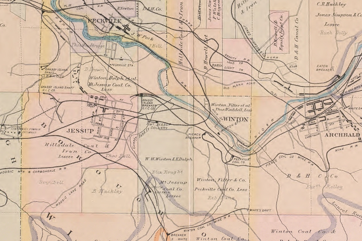
1894 Baist Atlas Wyoming and Lackawanna Valley Plate 11
1918 DH v2a m07
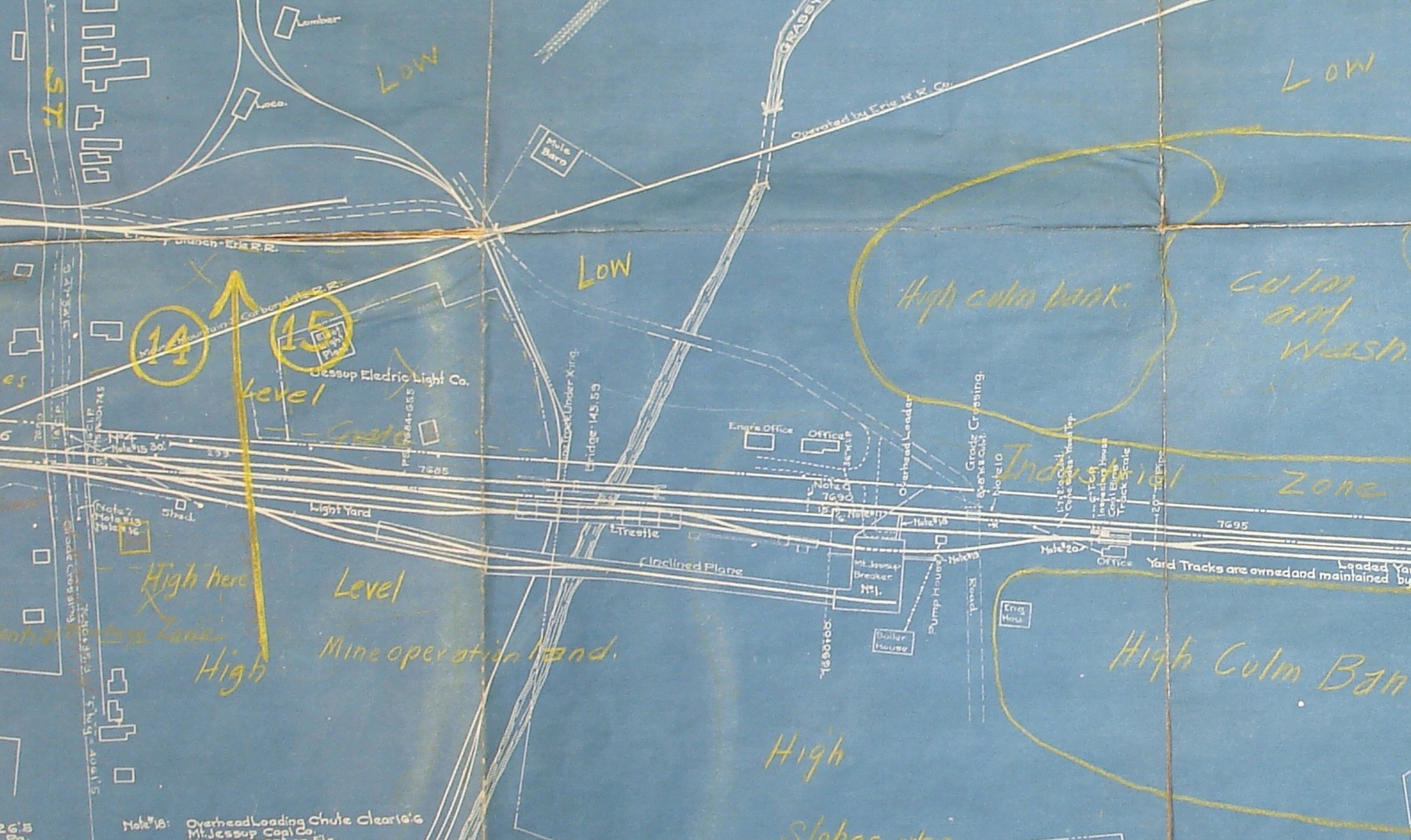
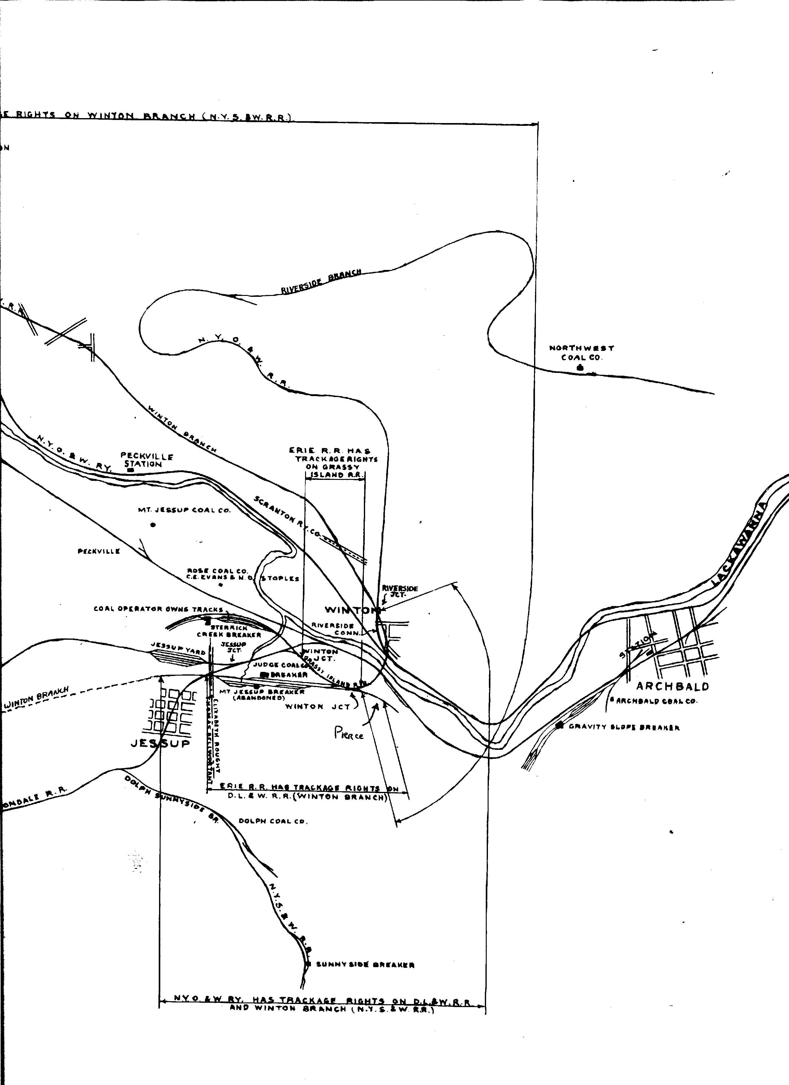
1918 Erie v11 Pa m01
1918 v21 n206
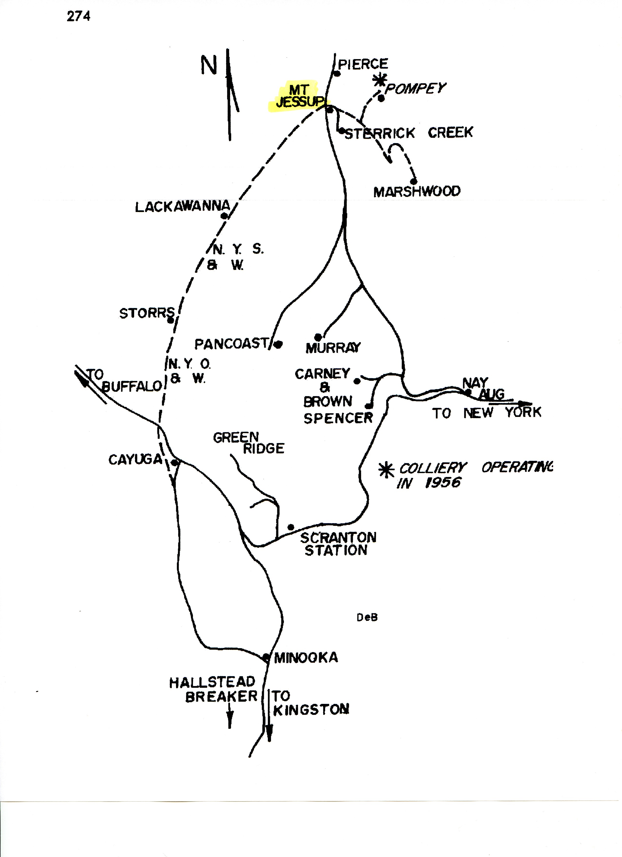
1939 Shepherd Map
DLW Coal Operations
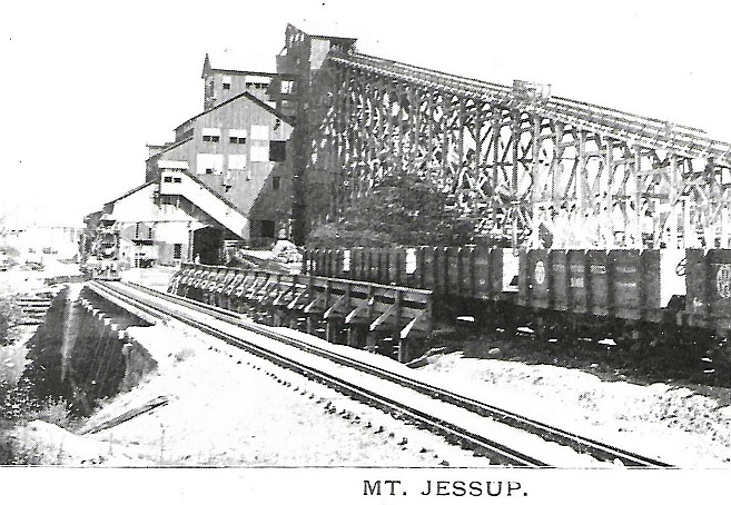
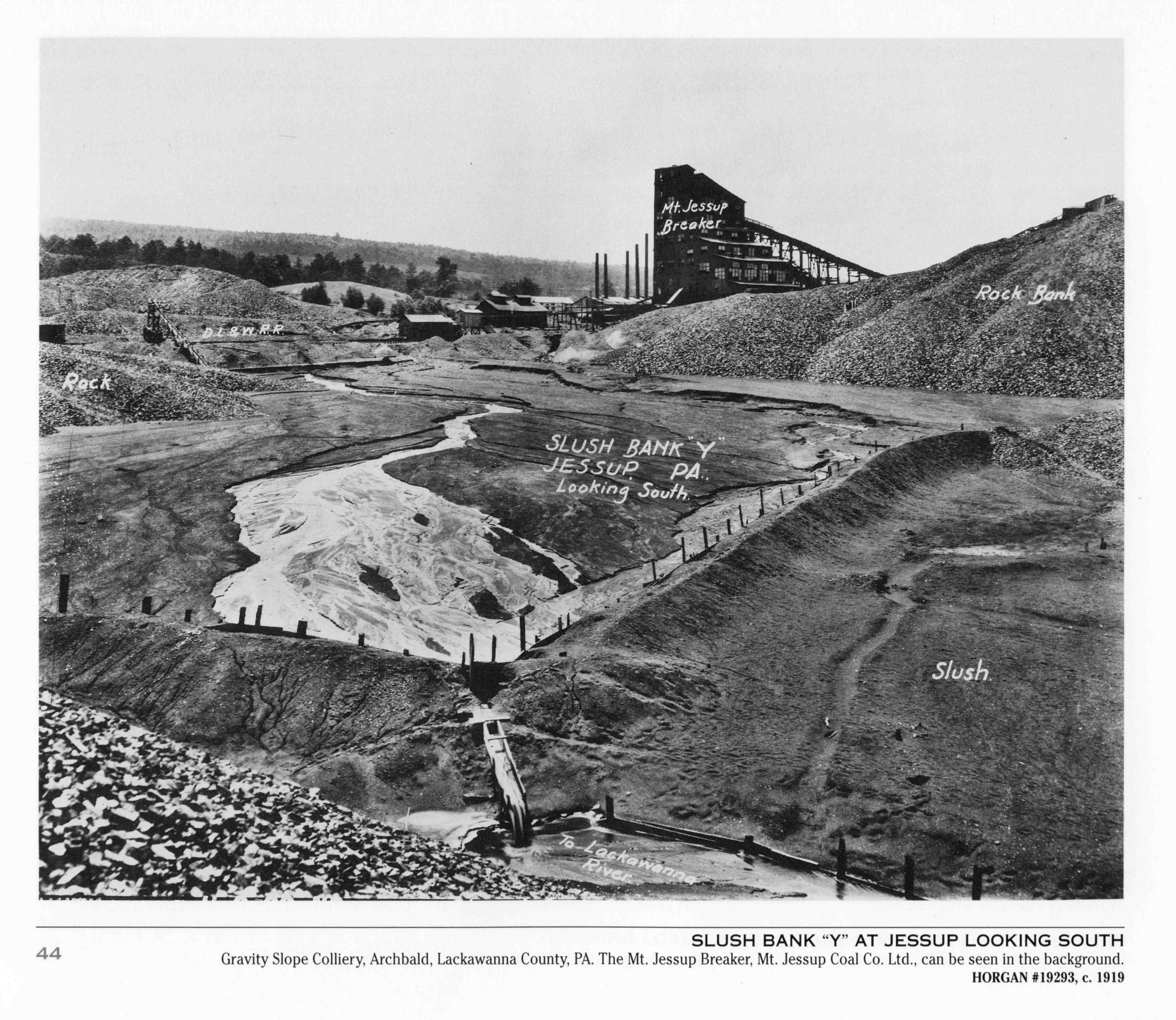
Period Photos
2 photos
2 photos
Penn Pilot and Aerial Photos
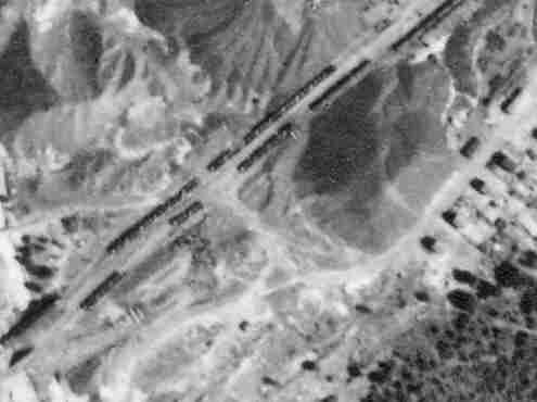
106_77 date 070239 close-up
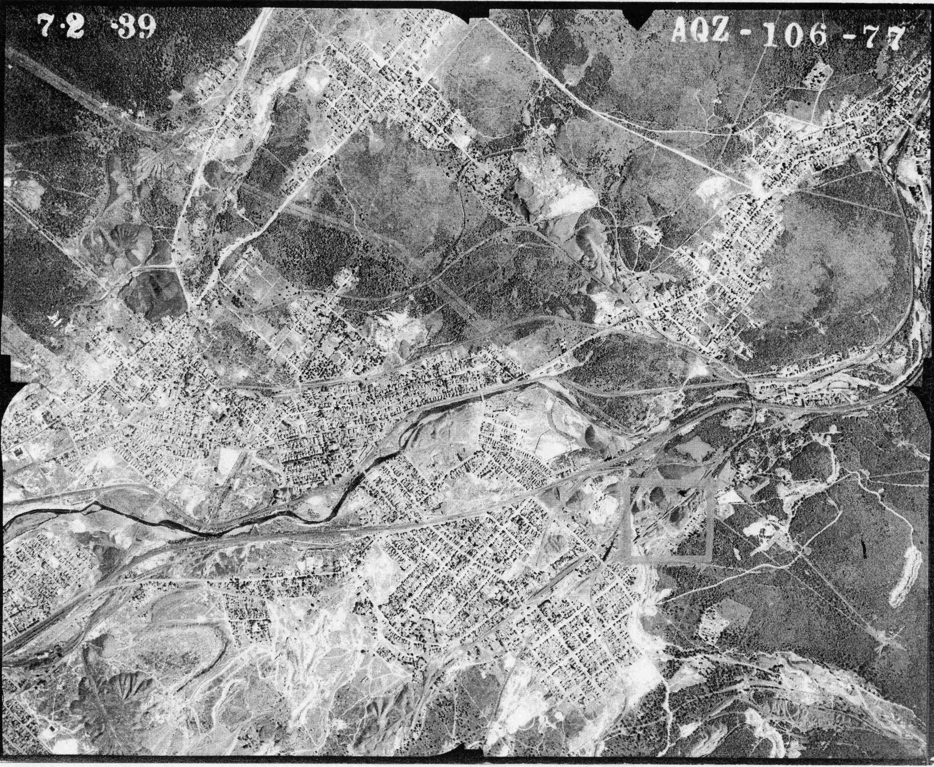
106_77 date 070239
Mine Inspections
Inspector Narratives
City & Sanborn Maps
Scranton Suburbs 1925 Sheet 27
Winton 1912 Sheet 3
News, History & Articles
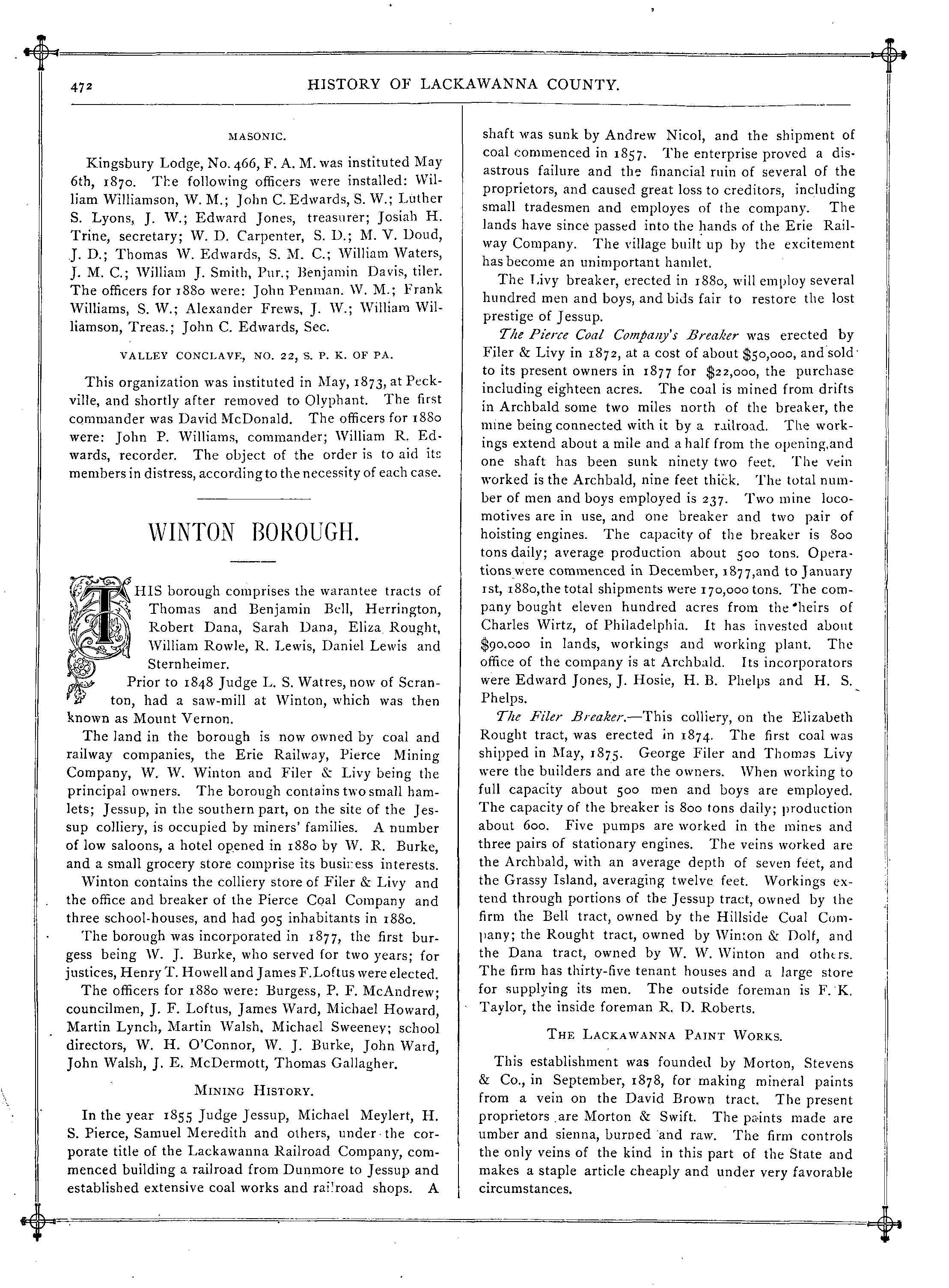
1880 History p 472
History Document from LHS undated
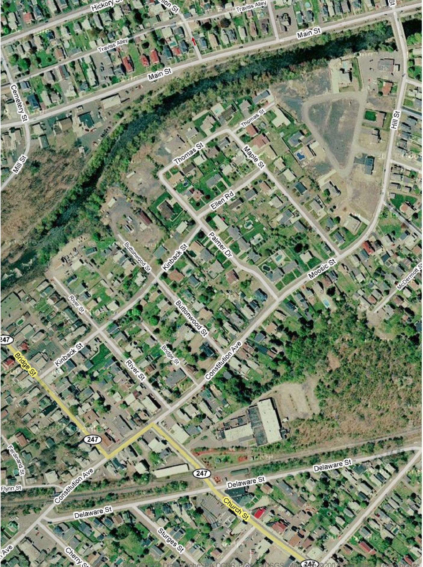
Modern Photos & Google Earth
Google Earth
Other Materials
Comments and Feedback